
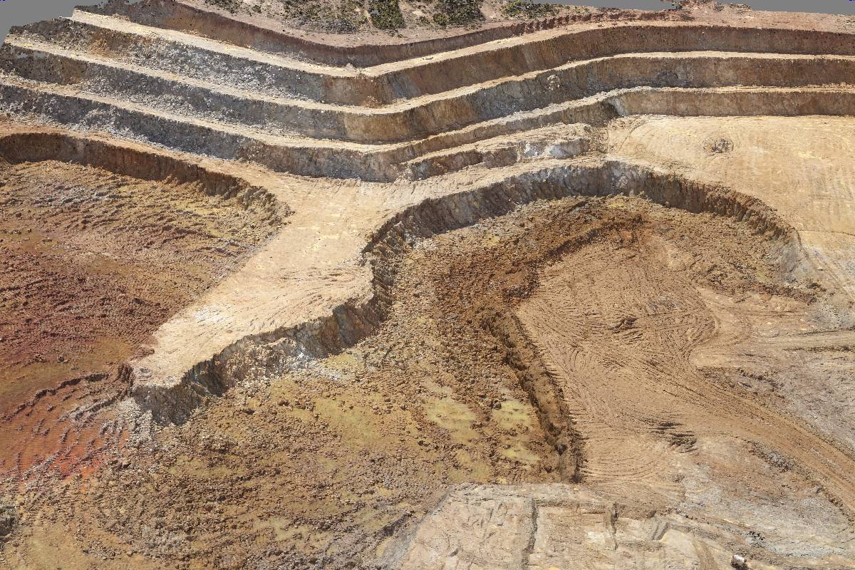
Point Clouds
A point cloud is a 3D representation of an area. The area could be land/terrain, a building, or other feature of the landscape. Potentially thousands of sets of coordinates are used to create this representation. The resulting dataset can be used to gain insights into the survey area, e.g. the elevation, distances between features, etc. We use commercial grade survey and mapping hardware, combined with intelligent post-processing, to create highly accurate point clouds.
Many Coordinates
A point cloud can comprise thousands or even millions of coordinates.
High Accuracy
Precise coordinate measurement using commercial grade equipment. Standard ground sample distance (GSD) of 2.4 cm/px at a flight attitude of 120m; higher resolutions are available. Absolute horizontal accuracy down to 1 cm if required by specification.
Post-Processing
We employ intelligent and effective post-processing to improve results. We can also process the data and use it in the production of plans, reports and data sets for more complex applications.