
Our Services
Dependable Survey
& Mapping Services
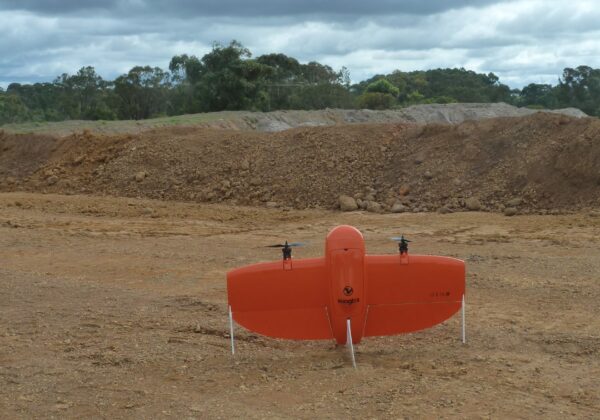
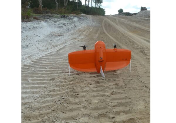
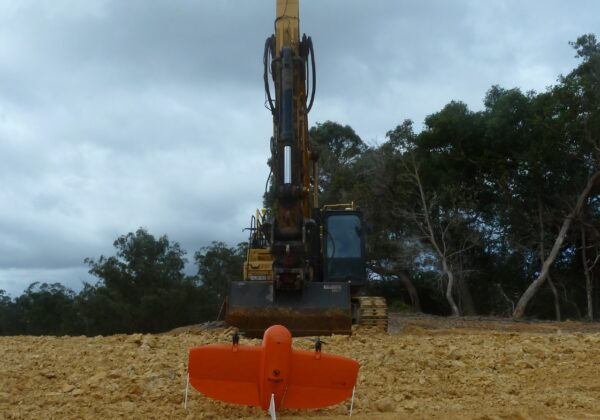
We solve complex 3D mapping problems by leveraging the value of cutting-edge survey and photogrammetry technology, and by offering a range of services aimed at providing you with the geospatial data you need, when you need it, in a format that can be utilised immediately.
You can trust us to deliver accurate results every time. We tackle commercial projects for engineers, surveyors, and planners, as well as providing research and commercial data for environmental scientists, agronomists, and farmers.
ABOUT US
For All of Your Geospatial Data and Mapping Needs
No matter the environment, we have the capability to provide you with accurate and trustworthy mapping and survey data.
We understand that our clients rely on the accuracy and quality of our survey and mapping services to make critical decisions. Because of this, we approach every project as a unique challenge. You can trust us to get it right first time, and provide you with the accurate data you need. Whether you need maps, plans to volume, area reports, or digital terrain models, we have you covered.
Tim Maw
Chief Pilot and Surveyor
Want to Know More?
0429 100 492