
Point Clouds
Point clouds provide a vehicle for collating a high volume of spatial measurements, into a consolidated dataset. Additional data can be included in the dataset, to provide a 4D visualisation of the whole.
Read More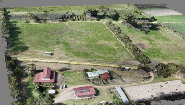
Digital Surface Model
By using a Digital Surface Model (DSM) it is possible to build an elevation model, that will incorporate both artificial constructs such as buildings, and natural features such as trees, etc.
Read More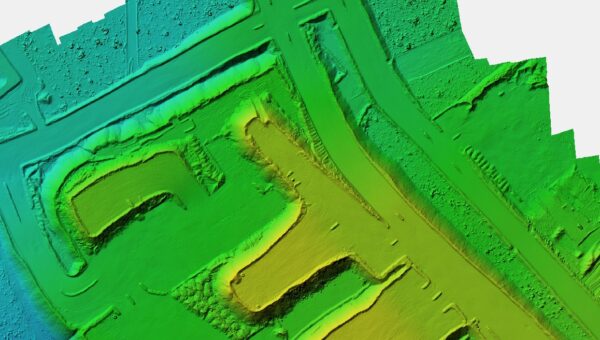
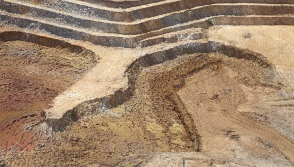
Digital Elevation Model
Creating a Digital Elevation Model (DEM) enables the discovery of the true topography of the bare ground. All natural phenomena such as trees, as well as artificial constructs such as buildings are overlooked.
Read More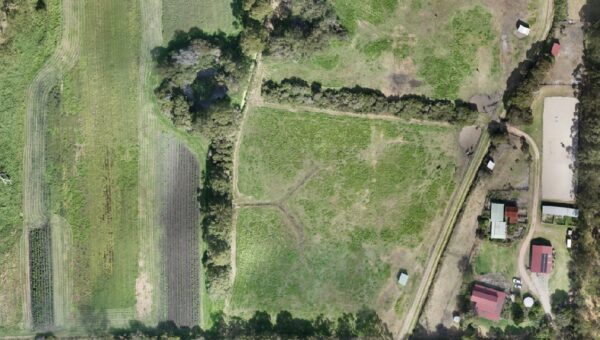
Orthomosaic Imagery
Orthomosaic Imagery can deliver high-quality ariel images with perfect perspective. Lens distortion is minimal, with no distortion of the topographical image.
Read More