
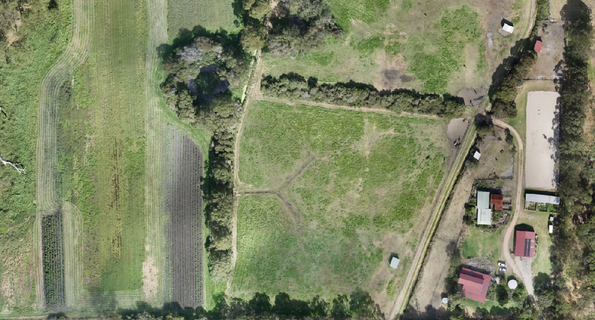
Orthomosaic Imagery
Using a commercial-grade survey drone, we can collect accurate aerial data that can be combined to create a detailed orthomosaic map. The completed composite image is similar to satellite imagery. However, the definition is higher and the data is more precise. The map can be interactive, allowing you to zoom in and investigate features of the survey area. Evolution Mapping can provide orthomosaic imagery suitable for construction firms, property management companies, real estate agents, etc.
Accurate Aerial Data
Our survey quality, professional drones can capture high definition, very accurate aerial data. Standard ground sample distance (GSD) of 1.5 cm/px at a flight attitude of 120m; higher resolutions are available. Absolute horizontal accuracy down to 1 cm if required by specification
Interactive Maps
The orthomosaic map can be examined in detail, by zooming in to explore features of the survey area.
Post-Processing
We can intelligently apply different types of post-processing techniques to further enhance the orthomosaic map to suit your needs. We can also process the data and use it in the production of plans, reports and data sets for more complex applications.